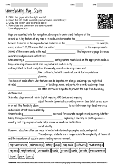
Understanding Map Scales
The cloze text on the role of scale in maps and navigation serves as an engaging educational tool, particularly suitable for the age group of 12 to 16. It highlights the importance of understanding map scales for accurate navigation and geographical education. By leaving out key terms related to maps and navigation, the text encourages students to apply their knowledge and think critically about how distances on maps correlate with real-world distances. This method of learning promotes active engagement with the material, as students must fill in the blanks with appropriate terms, reinforcing their understanding of scale, map types, and their applications. Furthermore, it introduces concepts such as the difference between large-scale and small-scale maps, how these are used in various contexts, and the impact of scale on detail and usability. This approach not only aids in memorizing factual information but also in developing a deeper comprehension of the subject matter. The cloze text can be effectively used in various teaching phases, from introducing the concept of map scales to reinforcing and assessing students' knowledge through interactive activities. It's a versatile resource that can be adapted for individual, group, or whole-class learning scenarios.
There are currently 3743 cloze worksheets on a wide range of topics available on materials.school.
You can freely download the latest worksheet from this website to help you familiarize yourself with the functionality and potential of the worksheets.