Spatial Analysis in Maps
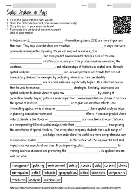
The cloze text format is highly beneficial for educational settings, especially when introducing complex topics like spatial analysis in the context of geographical information systems (GIS). It encourages active engagement by requiring students to fill in key terms, thereby reinforcing their understanding of the subject matter. This approach not only aids in vocabulary building but also in grasping the practical applications of spatial analysis across various fields such as environmental science, urban planning, and disaster management. By selectively omitting critical terms, students are prompted to critically think about the content, fostering a deeper comprehension. Additionally, the text illustrates the interdisciplinary nature of GIS and its relevance to real-world problems, which can motivate students to explore these areas further. The inclusion of applications in policing, business, and environmental conservation exemplifies how spatial analysis influences decision-making and problem-solving processes, making the learning experience more relatable and engaging. Lastly, incorporating such materials into the curriculum can enhance spatial thinking skills, which are vital in many STEM careers, thereby preparing students for future academic and professional endeavors.
There are currently 3743 cloze worksheets on a wide range of topics available on materials.school.
You can freely download the latest worksheet from this website to help you familiarize yourself with the functionality and potential of the worksheets.