The Power of Satellites in Mapping
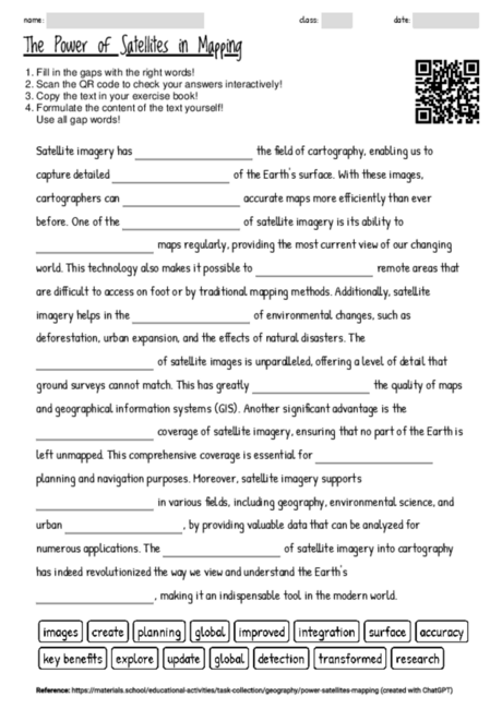
The creation of a cloze text centered on the theme of satellite imagery in cartography offers a dynamic and interactive way for students to engage with the subject matter. It serves as an effective tool for reinforcing vocabulary and concepts related to geography and technological advancements in mapping. This approach encourages students to actively think about each missing term, promoting deeper understanding and retention of the content. Additionally, by focusing on the practical applications and benefits of satellite imagery, the text highlights the relevance of geographic information systems (GIS) in contemporary society, including environmental monitoring and urban planning. This method of learning can stimulate curiosity and foster a greater appreciation for the intricate ways technology assists in our comprehension of the world. The cloze text is versatile, suitable for use in both introductory sessions to spark interest and in review sessions to consolidate knowledge. Furthermore, the simplicity of the task allows it to be easily adapted for different learning speeds, making it an inclusive educational resource.
There are currently 3743 cloze worksheets on a wide range of topics available on materials.school.
You can freely download the latest worksheet from this website to help you familiarize yourself with the functionality and potential of the worksheets.