Longitude Lines in Maps
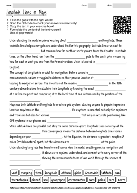
Cloze texts are a dynamic way to engage students in reading and comprehension exercises, especially on complex topics like geography. This particular cloze text about longitude and its role in maps and navigation offers a concise yet comprehensive overview that is accessible for young readers aged 12 to 16. By focusing on single, semantically important terms, students are prompted to critically think about the text's content, enhancing their understanding of geographic concepts. This approach encourages active participation, as students must not only fill in the blanks but also comprehend the entire context to choose the correct words. Moreover, the cloze format can be easily adapted for different learning phases, such as introducing new topics, reinforcing previously learned material, or assessing comprehension. In discussions or group work, the text serves as a foundation for deeper exploration of related subjects, like the history of navigation, the technology behind GPS systems, or the mathematical principles of the Earth's geography. Overall, the use of such cloze texts promotes literacy, critical thinking, and a global perspective among students.

