Data Visualization in Geographical Information Systems
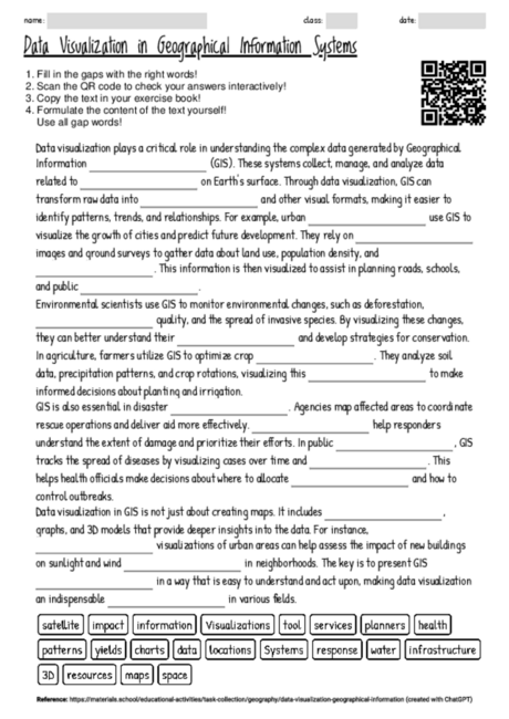
The cloze text on the role of data visualization in Geographical Information Systems (GIS) provides a clear and concise introduction to how GIS is applied across various fields, emphasizing the critical role of visual data interpretation. Using a cloze text format for this content enhances students' reading comprehension and retention by encouraging them to focus on key concepts and terms, making it an effective tool in both introductory and advanced learning phases. It supports the development of critical thinking as students must understand the context to fill in the blanks. Furthermore, the text illustrates the interdisciplinary nature of GIS, showing its relevance in urban planning, environmental science, agriculture, disaster response, and public health. This approach not only aids in memorizing facts but also in understanding the broad applications and importance of GIS, fostering a deeper interest in geographic sciences. The selective omission of keywords challenges students to actively engage with the material, promoting a more interactive and participatory learning experience.

